
News and Events
May 30 2016Crop maps over Free State Province available
Three types of crop maps are provided:
- Pre-seasonal Cropland Layer (PCL) map estimated at the beginning of the growing season
- a Crop Group Layer (CGL) map discriminating winter crops derived at the end of the winter
- a high resolution Crop Type Layer (CTL) map updated at every acquisition along the season
These maps are generated using an innovative classification method combining medium and high resolution optical imagery with radar acquisitions. It has been developed to take advantage of the spatial coverage of Sentinel-3, the high spatial resolution of Sentinel-2 and the weather independent acquisitions of Sentinel-1. The demonstration over the Free State Province, South Africa, for 2013-2014 is done using proxies i.e. MODIS, RapidEye and Radarsat images, respectively.
Crop maps are provided in GEOTIFF files, associated with an ATBD and a PUM. They are accessible on the ImagineS ftp: you can get the access information after registration.
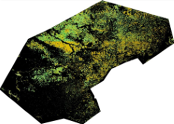
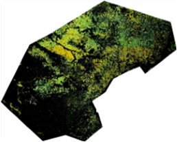

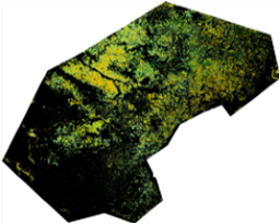
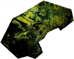
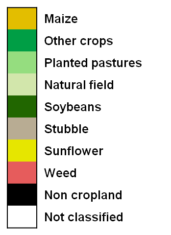
Crop Type maps over Free State Province in August, October, December 2013, February and March 2014.
Back to Overview